
Roy Blunt Reservoir Roadway and Utility Relocation
Type of work: Geotechnical Engineering,
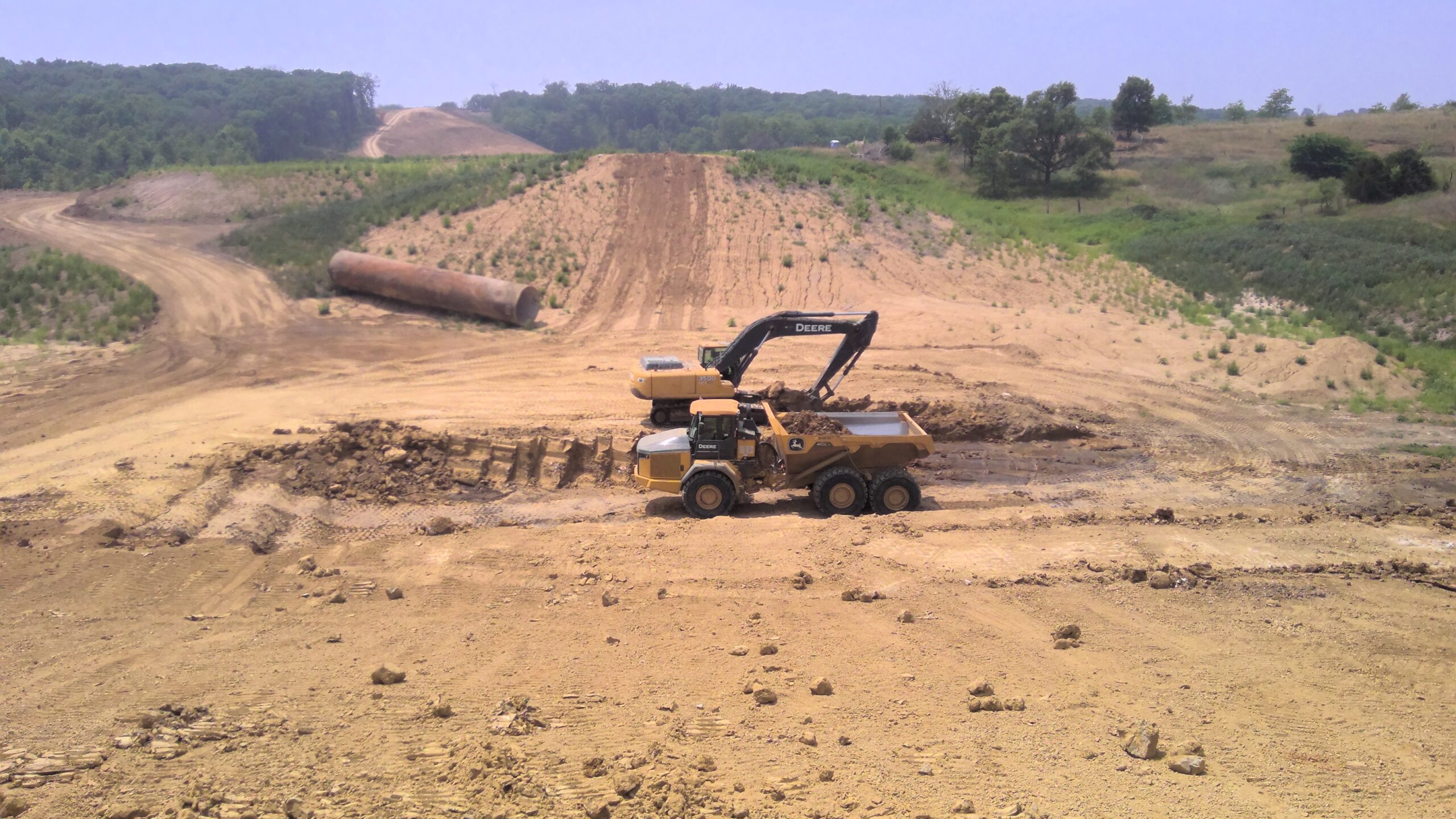
To prepare for inundation of the proposed 2,300-acre Roy Blunt Reservoir in Sullivan County, Missouri, seven miles of roadbed and utility corridors were constructed. Allstate performed subsurface investigations along roadway alignments, bridge abutments, and earthen crossings, and conducted lab testing to assess subgrade and fill materials. Consolidation and unconfined triaxial tests were used to estimate settlement time and design stable slopes for deep fills. Soft, saturated alluvial soils were found in areas requiring 12 to 32 feet of clay fill. To accelerate consolidation and reduce pore water pressure, drains were recommended, and riprap was placed to form a stable base for abutment fills. Allstate designed roadbed and abutment profiles and provided construction testing and observation — including subgrade evaluations, compaction testing, and monitoring settlement plates, piezometers, and monuments to meet MoDOT requirements.